Farness
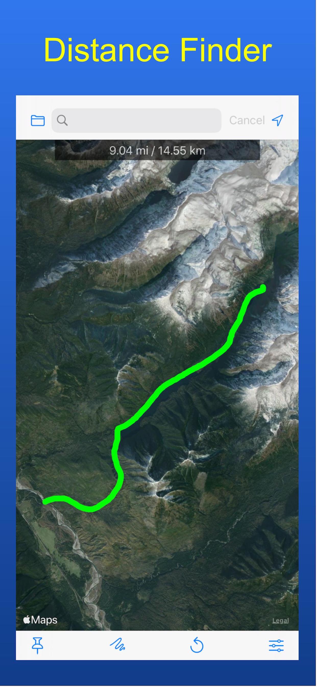
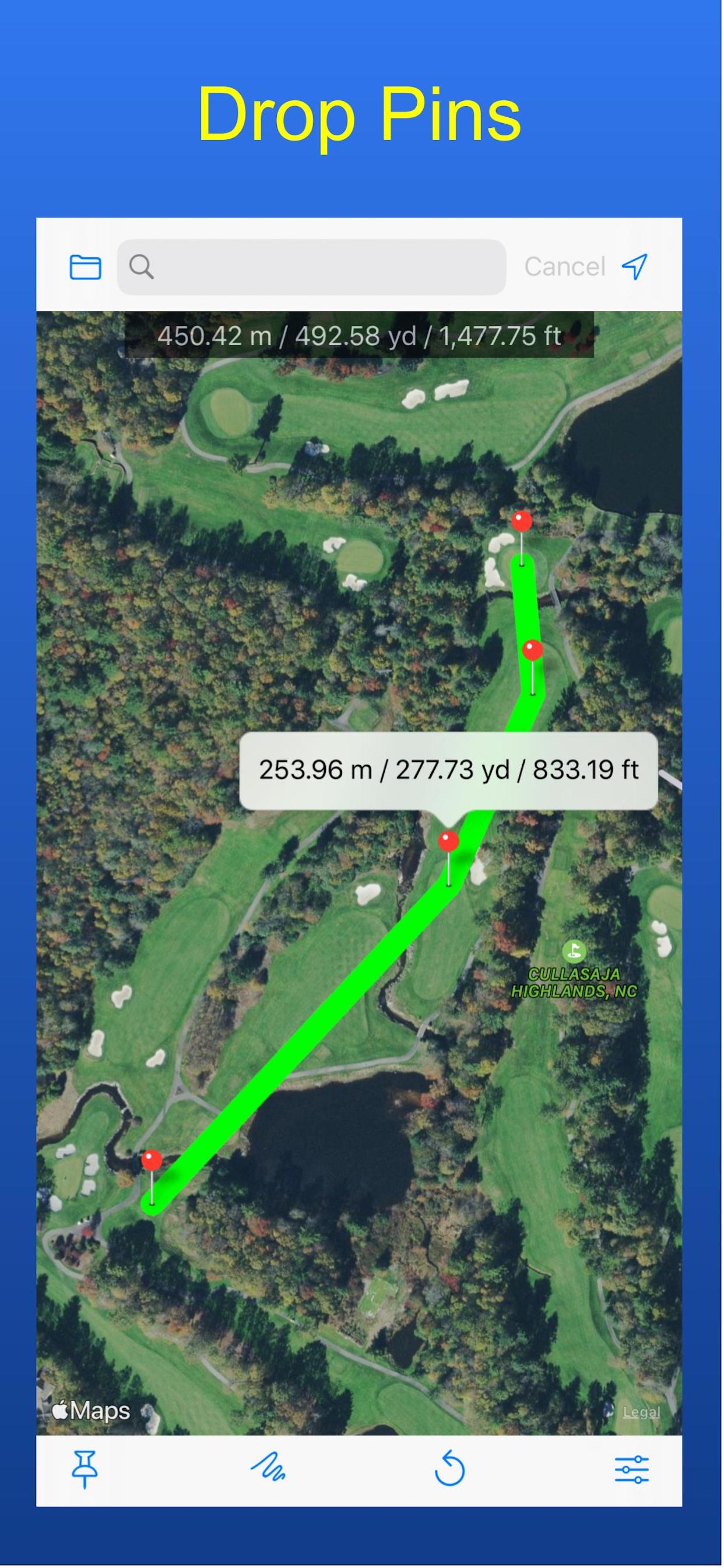
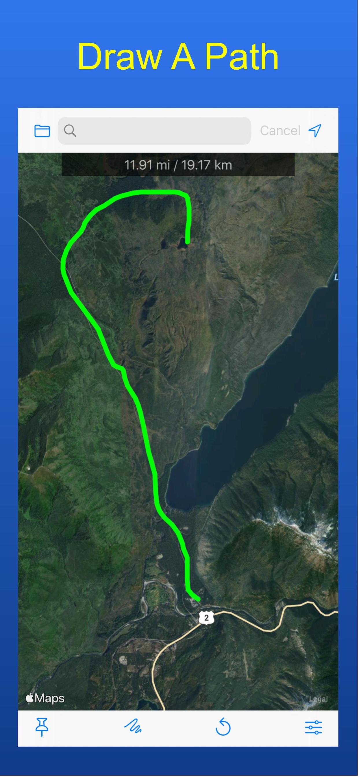
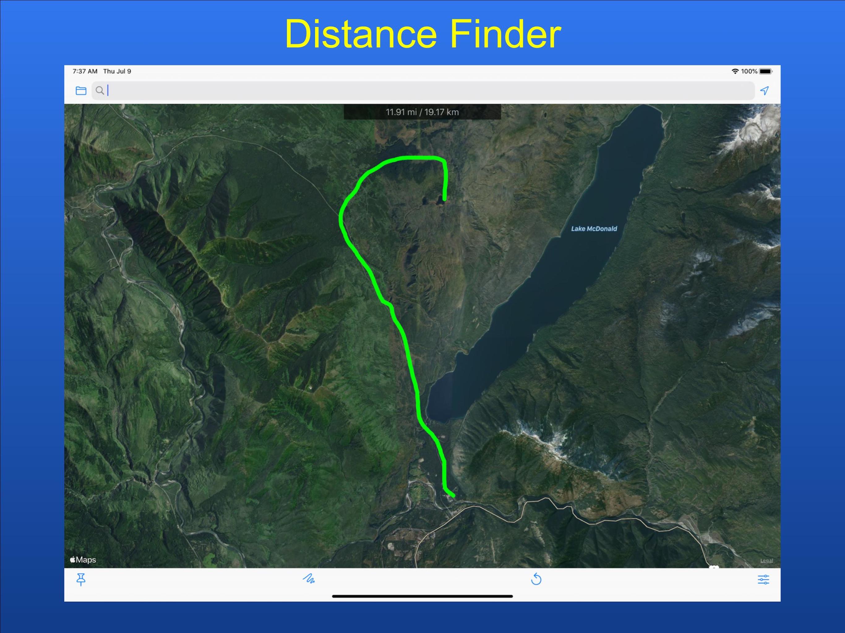
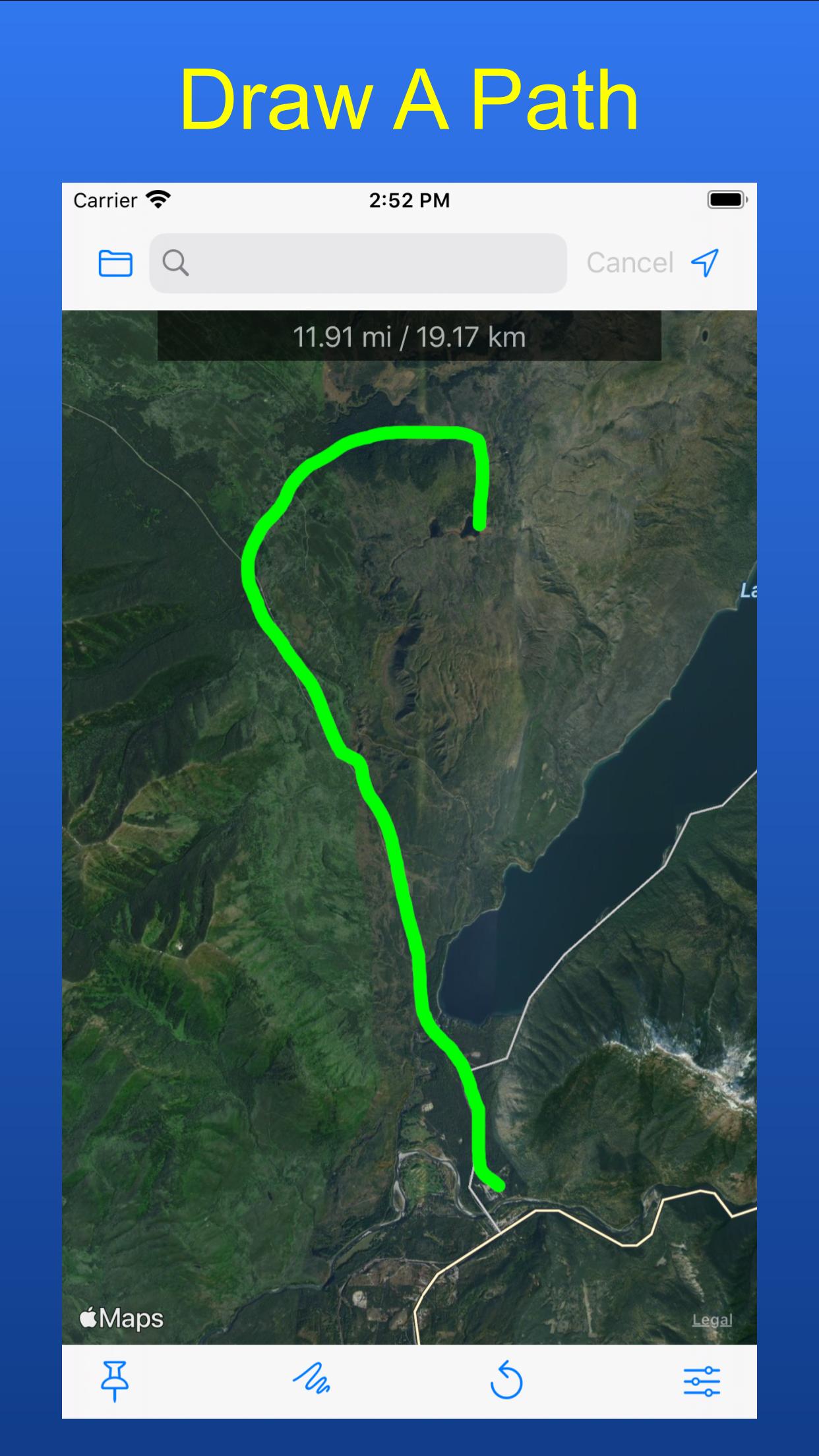
Have you ever gone for a walk, run, hike, bike ride, etc. and wondered how far you went? Farness lets you draw a path or drop pins on a map to measure the distance.
Features
Farness lets you draw a path or drop pins on a map to measure the distance.
- Long press to drop pins
- Drag your finger to draw a path
- Find the total distance and distance between points
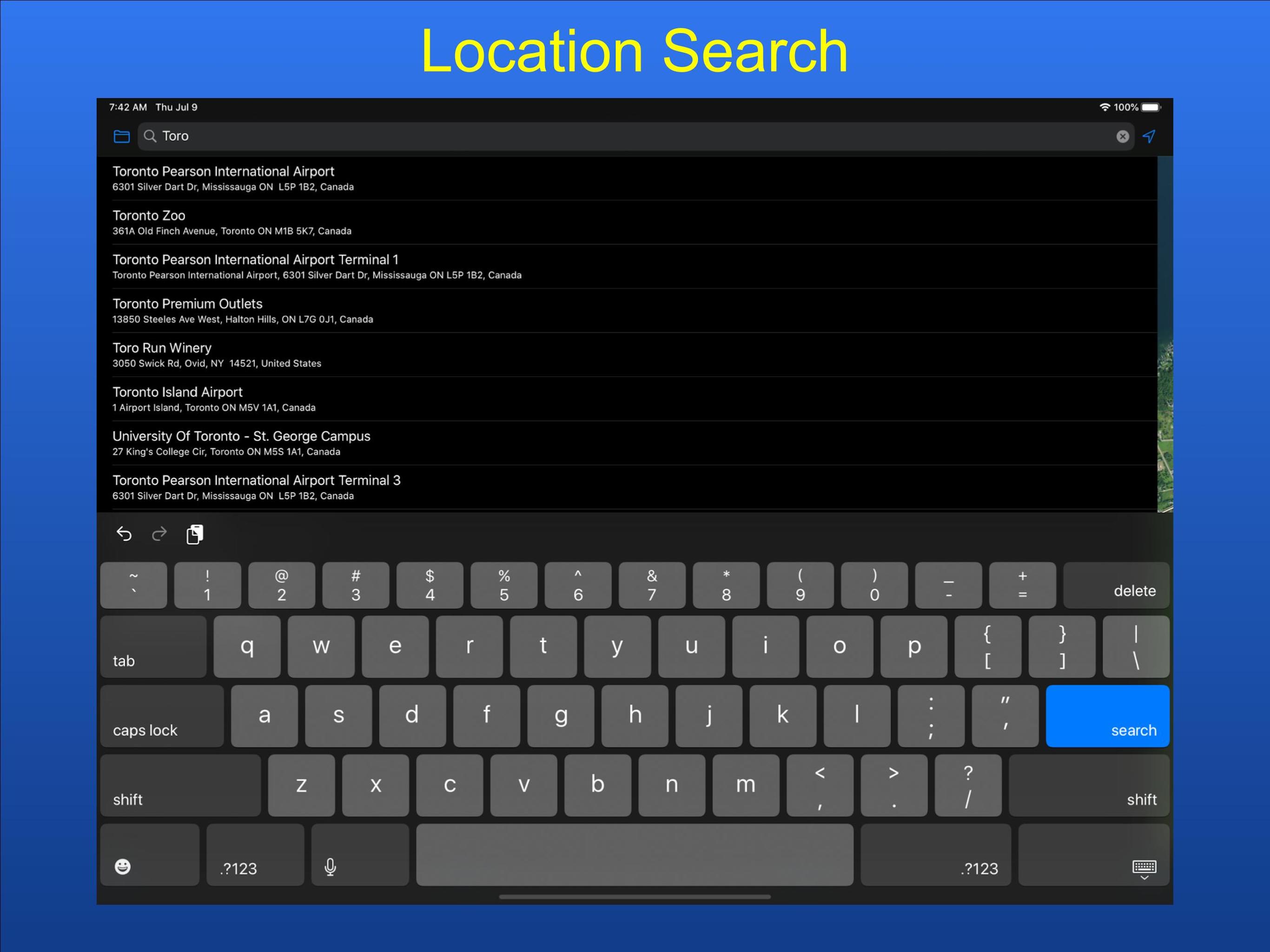
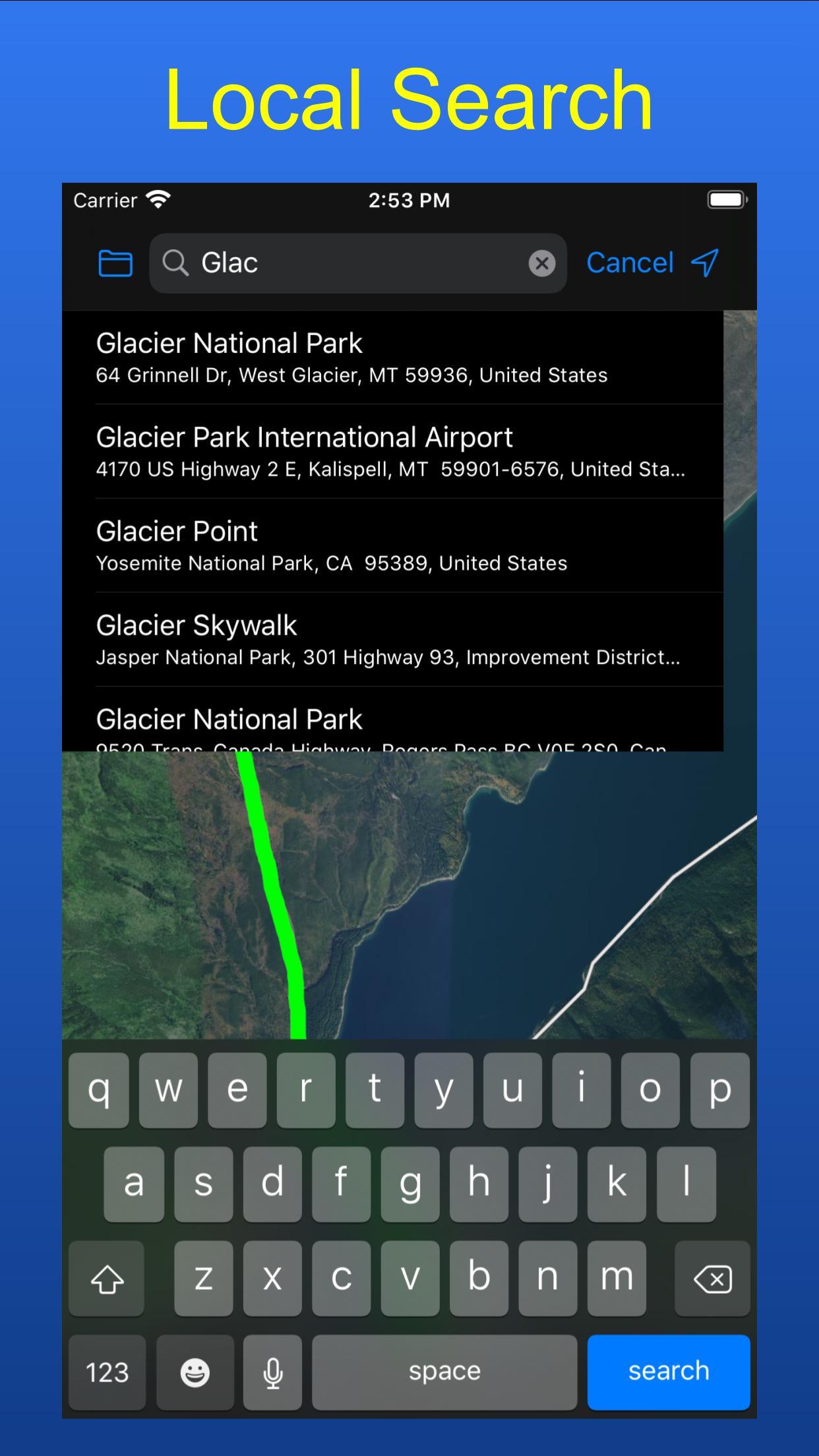
- Search for a location by name
- Use your current location
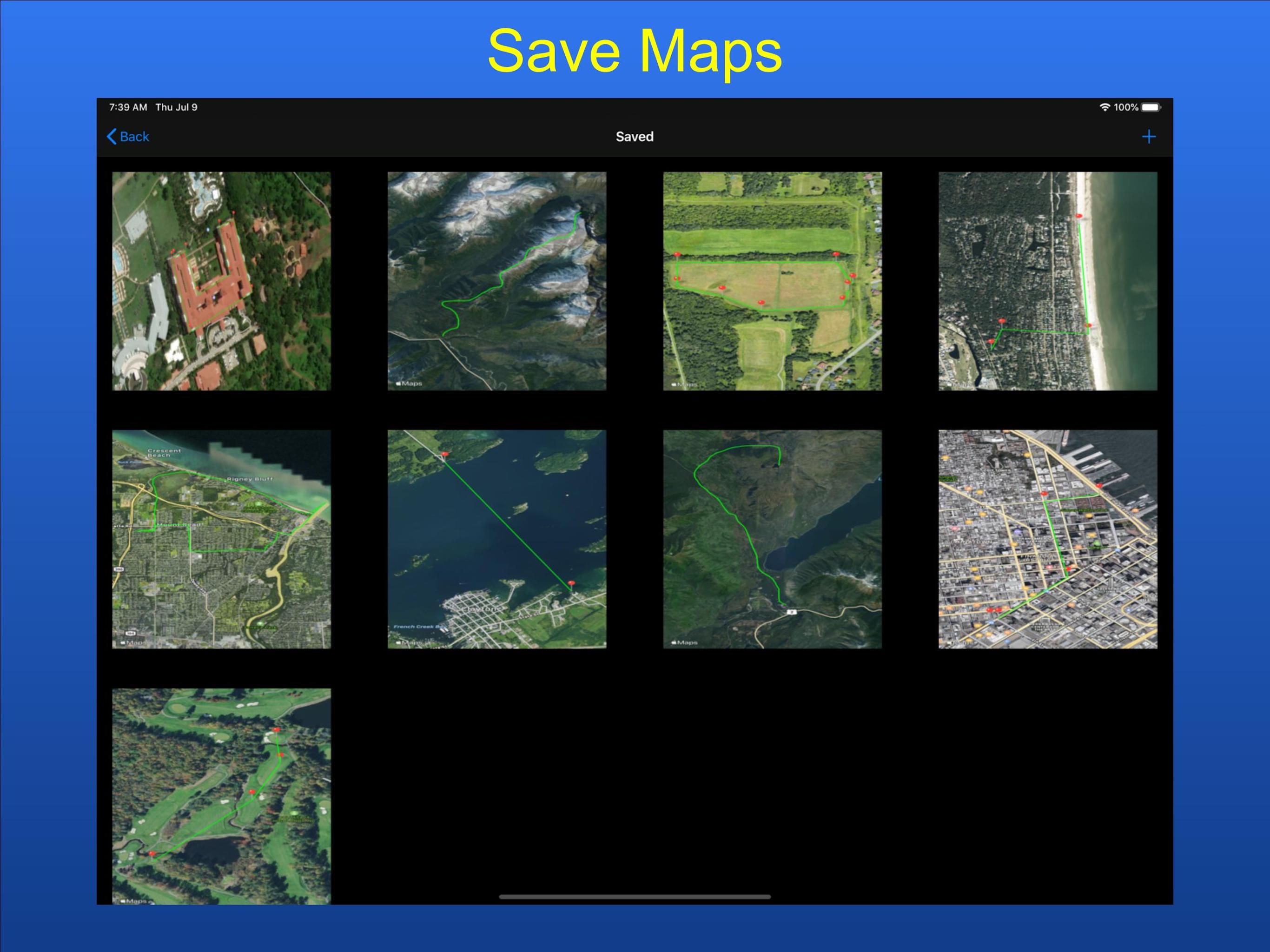
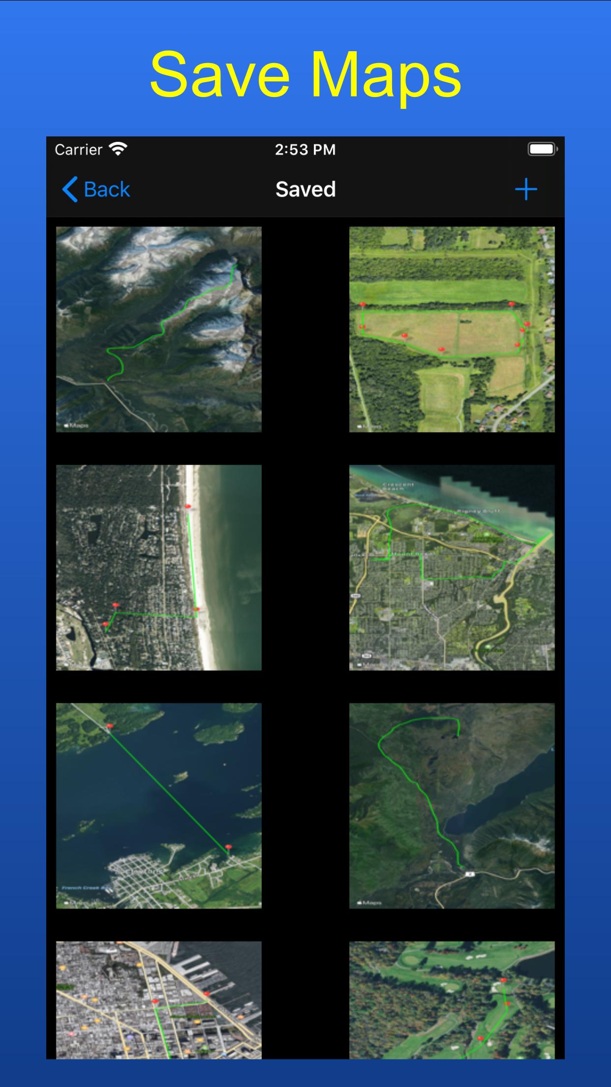
- Save your maps for future reference
- Share with your friends
- Delete saved maps
- Save image to your Photos
- View Standard, Hybrid, or Satellite maps
- Undo your last edit
